At Charlton Flats, in Angeles National Forest, spectacular views
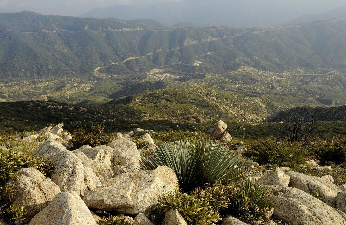
At the high point of the hike in the Angeles National Forest, about 35 miles northeast of downtown L.A., there are 360-degree views. On a clear day, you can see Mt. Wilson, downtown and even the ocean.
(Christina House / For the Los Angeles Times)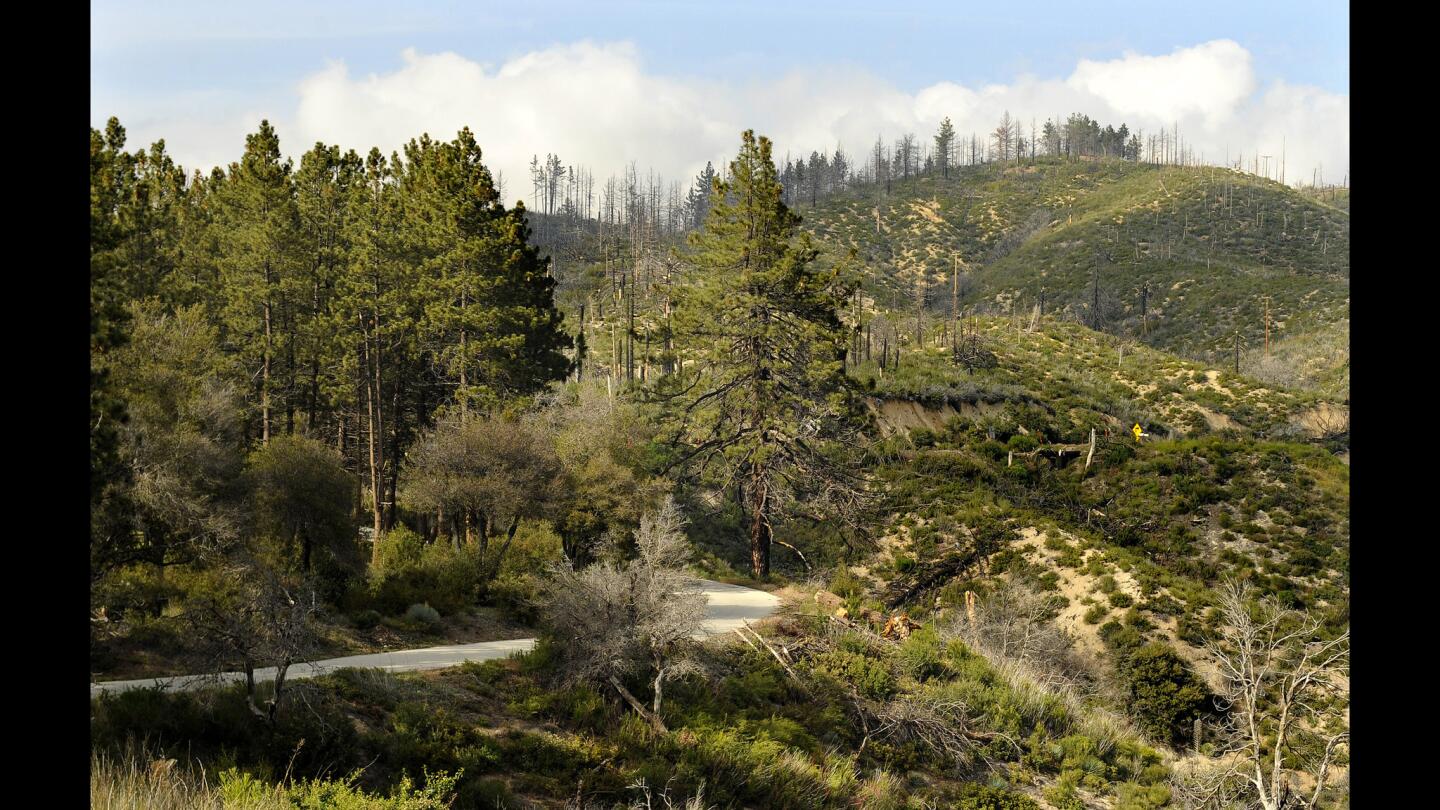
The first part of the hike is along the pine-lined and paved Forest Service Road 3N16.
(Christina House / For the Los Angeles Times)
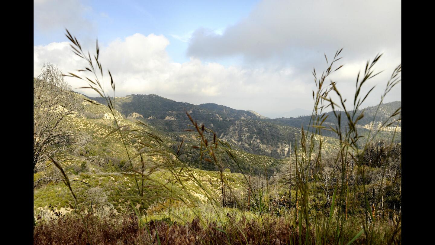
Mountaintops loom ahead as you walk up from the trailhead. This hike is a great introduction to the many Angeles National Forest trails along the Angeles Crest Highway.
(Christina House / For the Los Angeles Times)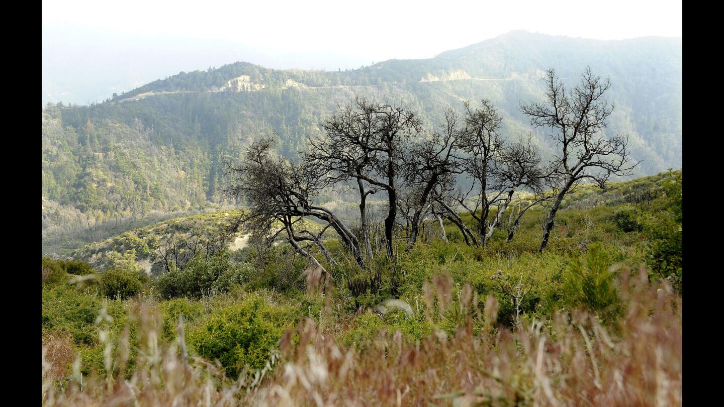
Along the hike, you can still see evidence of the devastation of the 2009 Station Fire.
(Christina House / For the Los Angeles Times)
Advertisement
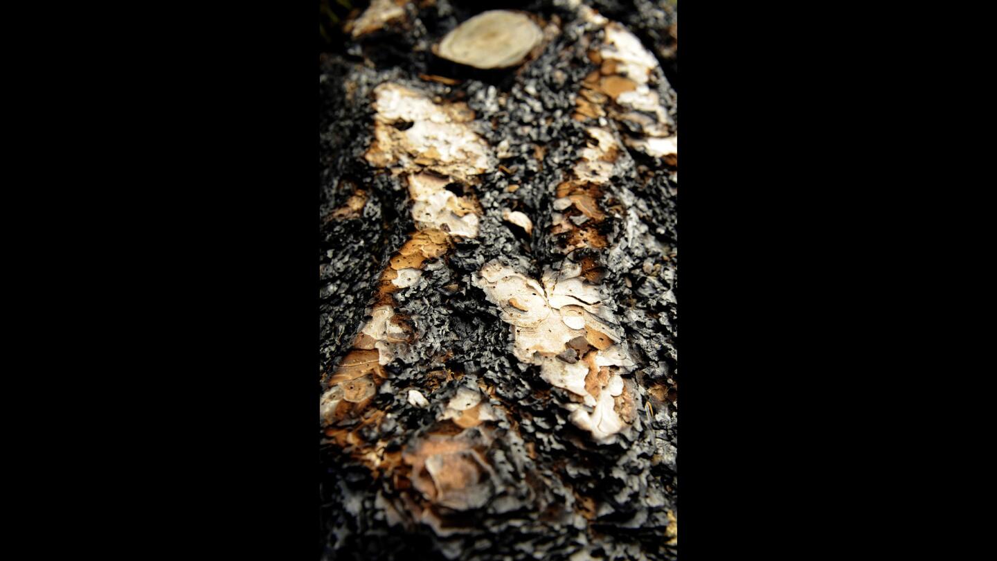
Charred bark on a fallen tree seen on the walk up shows the effects of the 2009 Station Fire, which burned more than 160,000 acres and caused the deaths of two firefighters.
(Christina House / For the Los Angeles Times)
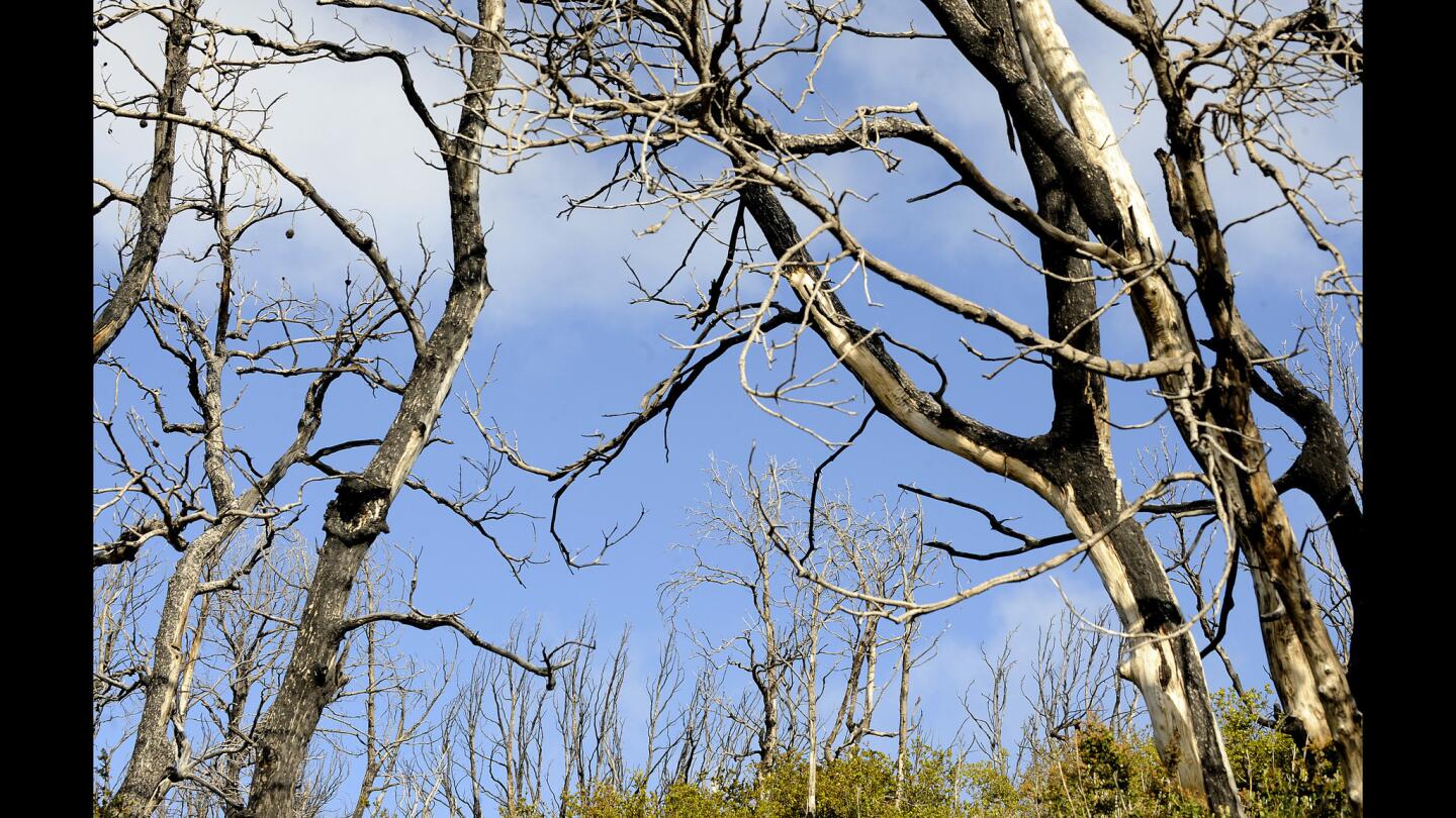
Blue skies above bare trees along the trail, which winds through recovering forestland.
(Christina House / For the Los Angeles Times)
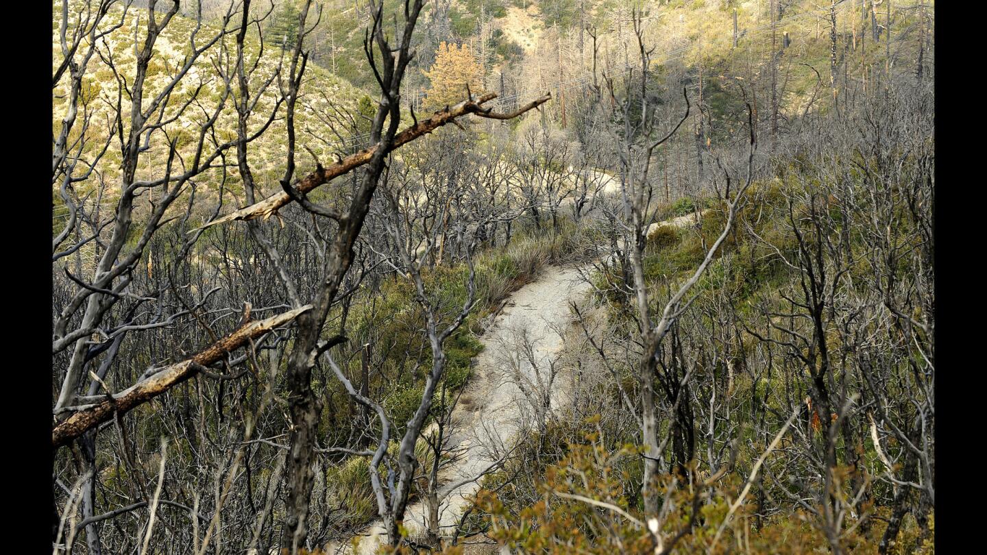
Several trails run through the Charlton Flats area, which is about 5,000 feet in elevation.
(Christina House / For the Los Angeles Times)
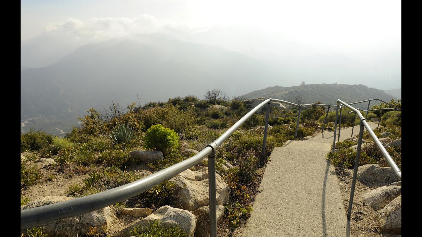
A paved stairway leads to the Old Vetter Mountain Historic Fire Watch Tower, or what’s left of it.
(Christina House / For the Los Angeles Times)Advertisement
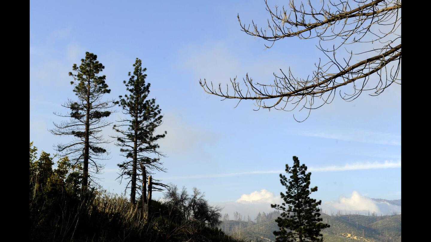
As you head back toward the start of the Charlton Flats hike, views shift and delight.
(Christina House / For the Los Angeles Times)
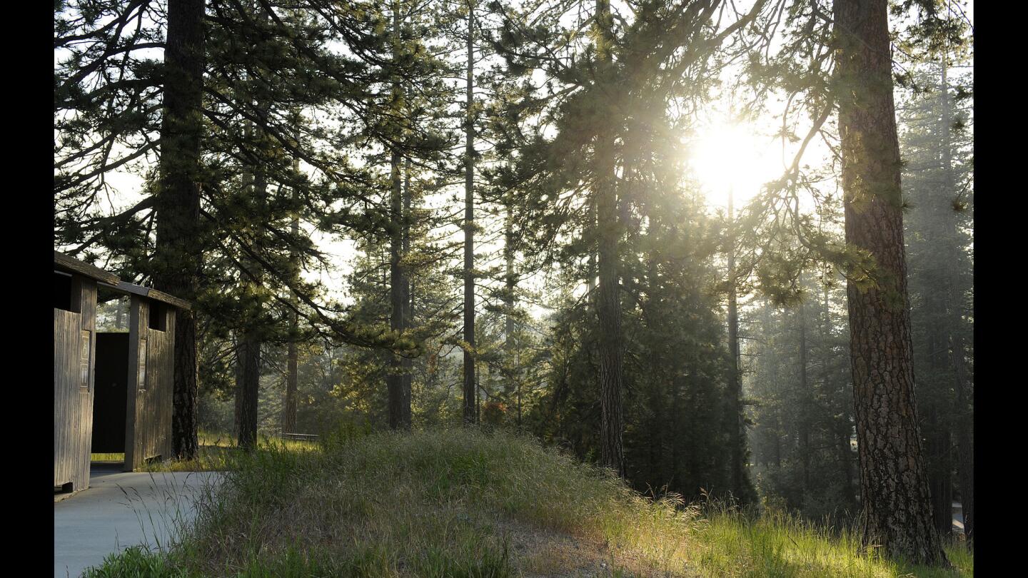
Late-afternoon sun peers through trees near the parking lot at the trailhead.
(Christina House / For the Los Angeles Times)


